geovis - MSc Topics
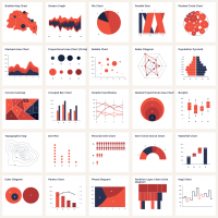
The aim of this MSc research project will be to develop a system that makes it possible – depending on a given combination of data types and/or on a given type

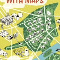
Implementing and testing modifications to existing cartographic means with respect to their ability to tell stories.

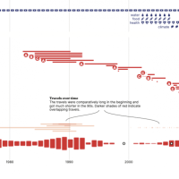
Research if and how maps can be used to help people make sustainable decisions about travelling.
")
Investigate the potential of notebooks for cartographic education.
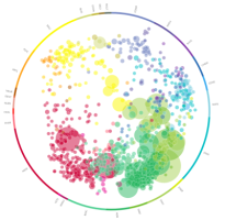
The objective of this MSc topic is to devise a method to visualise expertise of people in the specific domain of geoscience.

To build an AR or VR application that allows users to explore a generalized 3D origin-destination flow map by having grouped routes “exploded” (i.e., disaggrega
To design and and implement an approach that allow the use of annotations in both paper and online atlases use the strengths of both media.

An orthographic view of a globe is a relatively undistorted view of Earth's geography, but the whole surface cannot be seen synoptically at once: the viewe