GIS and Arcmap
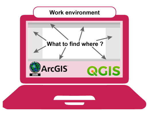
The Work environment of ArcMap
This section will help you to understand where the different elements on the desktop give access to and what they are used for. It will give no detailed information on the interface of the software, you are advised to visit the "Help" pages of ArcMap and find answers on your questions.
What to find where in ArcMap
For detailed information on all interface elements and processing options you are advised to use the ArcMap HELP-pages: Using ArcMap 10.7.
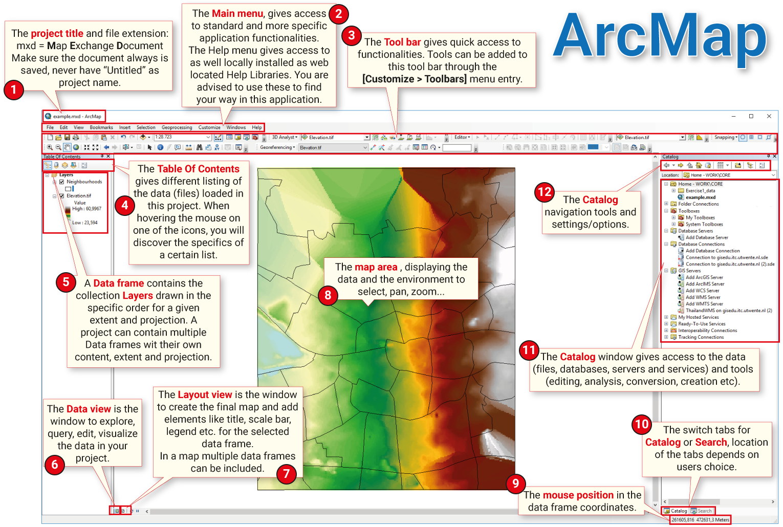
Menu-bars
ArcMap has two different menu-bars: the [Main Menu]
Data-management
Data management means a multitude of different things: access to data (local and external); creating and editing data; data formats (vector, raster, tabular); data storage (GeoDatabase, files); metadata; data quality and many more. The [Catalog] window
Map area
In ArcMap there are two ways to view a map: the [data view] or the [layout view]. Both are displayed in the [Map area]
Layer-control
The [Table of Contents]
Changing the order of the layers in the [Table of Contents] will have an effect on the order of the data in the map as well.
When you add a new layer to a map, it will be drawn using a default set of drawing properties. One of the first things to do after adding a layer is to set its symbology and other properties.
Toolbox
Working in a GIS often implies processing data, either to get it ready for use or to analyse it. Geoprocessing tools are used to perform simple operations, such as extracting data; change projections; create buffers and so on. These tools are stored and organized in toolboxes. The toolboxes are located in the [Catalog]
Extensions
To enhance the basic functionality of ArcMap, a set of available extensions can be installed or activated. These extensions are sets of advanced tools that can be added to the application. Extensions allow to analyze spatial relationships for specific purposes: 3D Analyst and Network Analyst are examples of these extensions. For acquiring them you need a seperate license. Extensions can be activated (if part of the package) from the [Main menu > Customize> Extensions...].
Help
For detailed information on all interface elements and processing options you are advised to use the online ArcMap HELP-pages: Using ArcMap 10.7. In the [Main Menu > Help > ArcGis Desktop Help] you have access to the locally installed Help system, you do not require an internet connection for it. If you have a question, always try first to find an answer in one of these two Help environments. Besides, you will find many forums online, that offer support for ArcMap users. Not to forget the many video tutorials that will help you in "getting the job done!".