eBird animated maps
Birds move. eBird shows us how...
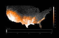
There is one person in our staff that certainly knows about this, but even if you are not interested in birds, the project should be of interest to mappers and spatio-temporal geo-people in general: The maps, which are called STEM (Spatio-Temporal Exploratory Model) maps, use eBird stationary and traveling count checklists that report all species. Ongoing research at the Cornell Lab is currently producing what they call "cutting-edge graphics" (in fact its simply animated GIFs). But the amount of (crowdsourced) data disseminated this way is amazing: 42 million records.