Analysis of editing behavior patterns of building footprints in OpenStreetMap
Objective:
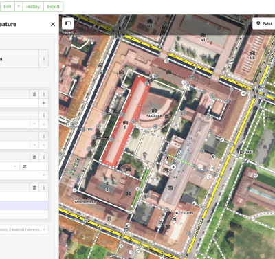
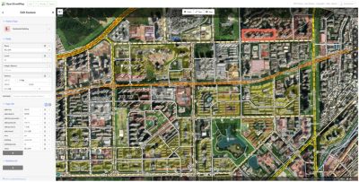
 Editing interface of OpenStreetMap
Description:
OpenStreetMap (OSM) stands as the largest collaborative mapping platform with numerous applications. However, the uncertainty surrounding data quality poses a significant challenge. The behavioral patterns of contributors play a crucial role in influencing data quality. Therefore, we aim to comprehend the improvement process of data quality by analyzing contributors' editing histories. Through data preparation for future studies on enhancing data quality by understanding contributors' behavioral patterns, we seek to mitigate the impact of individual contributors' variability on data quality.
Staff involved: Yu Feng (TUM chair of Cartographgy - y.feng@tum.de) & Yao Sun (TUM Chair of Data Science in Earth Observation)
 Editing interface of OpenStreetMap
References:
Herfort, B., Lautenbach, S., Porto de Albuquerque, J., Anderson, J., & Zipf, A. (2023). A spatio-temporal analysis investigating completeness and inequalities of global urban building data in OpenStreetMap. Nature Communications, 14(1), 3985.
Fan, H., Zipf, A., Fu, Q., & Neis, P. (2014). Quality assessment for building footprints data on OpenStreetMap. International Journal of Geographical Information Science, 28(4), 700-719.
Domain(s):
Study Program(s):
- MSc. Cartography (EXCLUSIVELY externally advertised)
