Towards an automatic UAV-based mapping tool for first responders: Defibrillator missions in Alpine regions
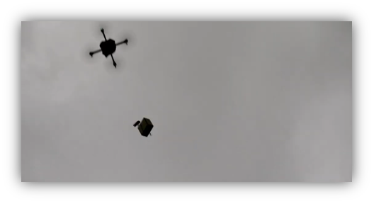
 Drone rescue in difficult terrain, Eurac Research. https://www.youtube.com/watch?v=1LyNv3qy9bc
Objective:
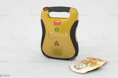
 Automated External Defibrillator (AED)
Description:
This topic is offered at TUM in cooperation with hosting institute Eurac Research, Center for Sensing Solutions in Bolzano (IT): Abraham MEJIA-AGUILAR, PhD & Ekaterina CHUPRIKOVA, PhD
For a couple of decades, the civil use of Unmanned Aerial Vehicles (or drones) has opened various applications. One of the most impacting is in the field of security and humanitarian missions with the support of telemedicine. Drones provide medication, vaccines, blood, etc., in remote or difficult access terrains. Although the Alps mountains are well mapped, communicated, and accessible, casualties often occur for tourists unfamiliar with the terrain or underestimating the conditions. Cardiac arrest is one of the most reported incidents in these areas. The availability of an automated external defibrillator (AED) can increase its outcome. Patients in these areas who otherwise would not be reachable in a reasonable time could be helped by the early availability of an AED if delivered by alternate means (eg. a drone). The design of civil UAV missions consists of assigning at least two coordinate points where the platform flies or a trained and skilled pilot controls it. However, for long-distance missions, this option is unviable. Changes in terrain, obstacles, and weather conditions limit these operations.
The goals of this thesis are:
- To propose a distributed drone network (stations) that could cover the entire Province of Bozen/Bolzano by attending to any emergency call.
- Performance of drones, autonomy, regulations, and weather conditions are the factors to be considered.
- A map of the stations will support the decision-makers in executing the missions.
- To develop an interactive map tool (GIS) that includes free, prohibited, and regulated sky space according to Italian and European normative (urban, national parks, segregated areas, etc. should be mapped accordingly in a user-friendly interface)
- To develop an interactive flight mission to program a drone based on a historical and medical dataset.
- Optimal trajectory
- Time efficiency.
- Minimum resources (energy, staff, etc.)
The project involves an Institute for Mountain Emergency, a Technology Competence Center, and an UAV company.
Tasks:
- To identify and analyze available spatial datasets for the Autonomous Province of Bozen/Bolzano, Italy
- To identify limitations of practical UAV missions
- To develop mapping tools for the use of First responder missions
- To design a visualization approach for UAV flight planners.
Technical and personal skills/expertise:
- Basics of statistics (uncertainty, prediction models, probability models) preferably by using one programming language (R, Python, Matlab)
- GIS skills (e.g., QGIS, GRASS)
- Basic experience in UAV platforms and/or Electronics
- Motivation to learn new skills, software
- Ability to work in a team, good communication skills, and personal engagement
- Good English (+ good German and/or Italian desirable).
We offer:
- An attractive, autonomous position in a young international and interdisciplinary team,
- State-of-the-art technical facilities (soft- and hardware, communication tools),
- Scholarship.
References:
Wankmüller, C., Truden, C., Korzen, C. et al. Optimal allocation of defibrillator drones in mountainous regions. OR Spectrum 42, 785–814 (2020). https://doi.org/10.1007/s00291-020-00575-z
S Schierbeck, J Hollenberg, A Nord, L Svensson, P Nordberg, M Ringh, S Forsberg, P Lundgren, C Axelsson, A Claesson, Automated external defibrillators delivered by drones to patients with suspected out-of-hospital cardiac arrest, European Heart Journal, Volume 42, Issue Supplement_1, October 2021, ehab724.0656, https://doi.org/10.1093/eurheartj/ehab724.0656
Mejia-Aguilar A, Bianco GM, Marroco G, Voegele A, van Veelen M, Strapazzon G. In-situ and proximal sensing techniques for monitoring naturals hazards to mitigate risk in tourism activities: a case study in the GEOPARC Bletterbach, Italy. IGARSS 2021. https://doi.org/10.1109/IGARSS47720.2021.9554279
Domain(s):
Study Program(s):
- MSc. Cartography (EXCLUSIVELY externally advertised)
