Developing an Interactive Visual Tutorial for Citizen Science
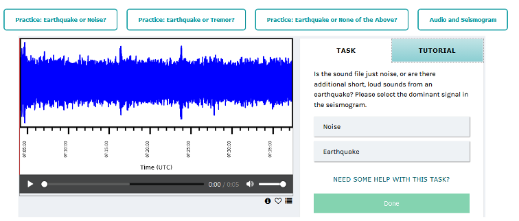
 Earthquake Detective classification practice (https://www.zooniverse.org)
Objective:
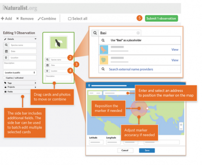
 iNaturalist how to collect an Observation from the Web (https://www.inaturalist.org/)
Description:
Citizen Science (CS) describes scientific research which is conducted by amateur scientists. A key characteristic is public participation in research thus often resulting in non-professionals collaborating with scientists or a scientific institution. Aside from changes of scientific literacy in amateurs, CS has a very pronounced effect on learning specific skills like species identification.
The objective of this thesis is to develop interactive web-based tutorials for common tasks in CS, such as data collection, classification and spatial analysis. The tutorials should be designed with guidelines for interaction in mind and support amateurs in collecting information about the spatial distribution of phenological data, trees and animal sightings in Bavaria. A user study should be conducted to evaluate the effectiveness of the knowledge transfer to amateurs and the quality of the collected and classified data.
This topic requires programming skills in JavaScript.
Staff working on this field:
Andreas Divanis, M.Sc.
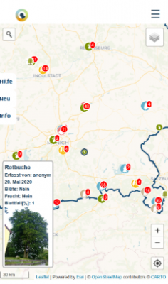
 Bavarian Citizen Science Project Progressive Web App (mobile) map
References:
Gura, T. (2013). Citizen science: amateur experts. Nature 496 (7444), 259-261
Turrini, T et al (2018). The threefold potential of environmental citizen science – Generating knowledge, creating learning opportunities and enabling civic participation. Biological Conservation. 225(2018), 176-186.
Roth, R. et al (2017). User studies in cartography: opportunities for empirical research on interactive maps and visualizations. International Journal of Cartography, vol. 3., sup 1, pp. 61-89.
Domain(s):
Study Program(s):
- MSc. Cartography (EXCLUSIVELY externally advertised)
